There’s A Map For That (21 Interesting Pics)
You guys liked the charts and graphs so much I thought this would also be a fun post. Other than Google Maps, we don’t really think about maps too much anymore. Luckily there are still a few beautiful nerds out there making them, and they’re pretty great.
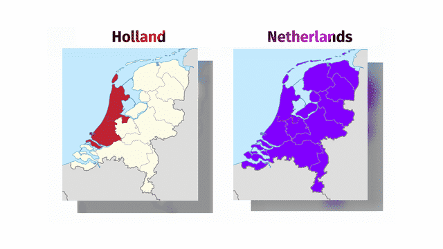
1. Holland vs The Netherlands
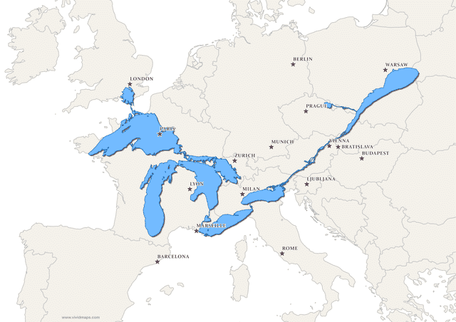
2. The Great Lakes and Saint Lawrence River superimposed on a map of Europe
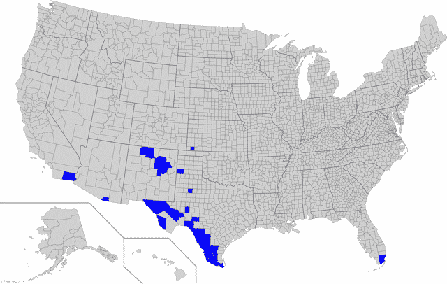
3. Counties in the US with a Spanish speaking majority
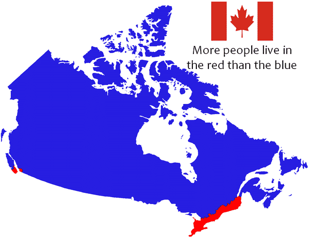
4. Where most Canadians live (red)
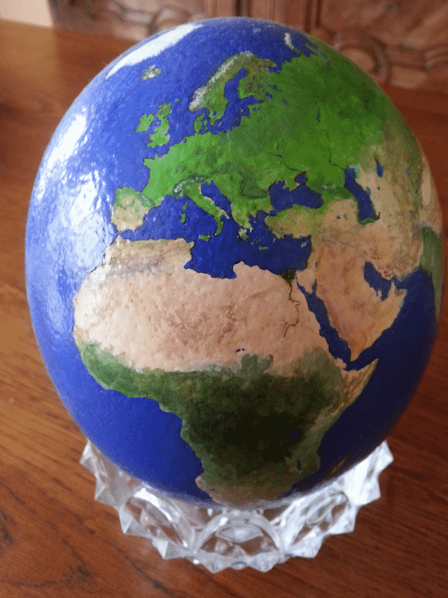
5. My painting of the Earth on an ostrich egg.
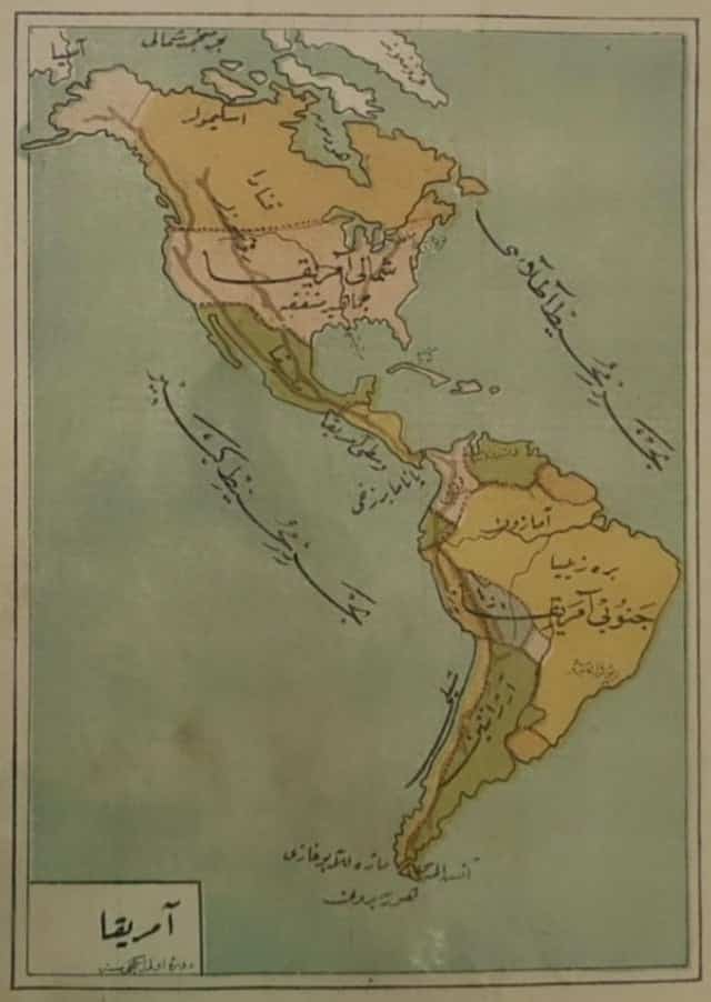
6. Ottoman map of the Americas, 1908
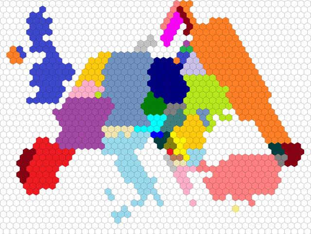
7. I attempted to draw Europe with 1 hexagon representing 1 million people.
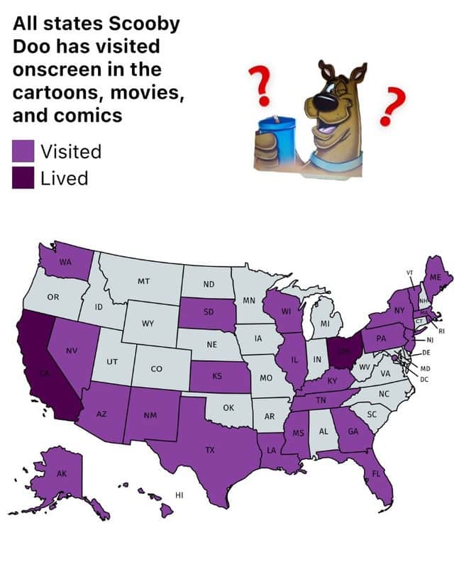
8. All states Scooby Doo has visited onscreen in the cartoons, movies, and comics.
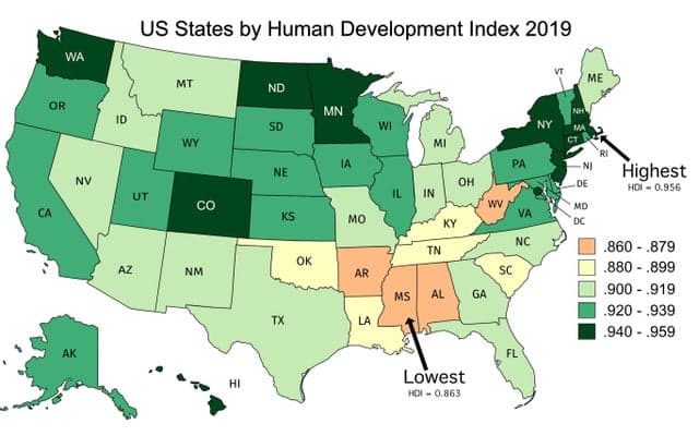
9. US States by Human Development Index
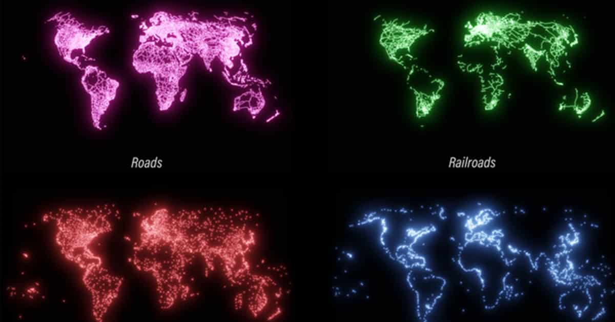
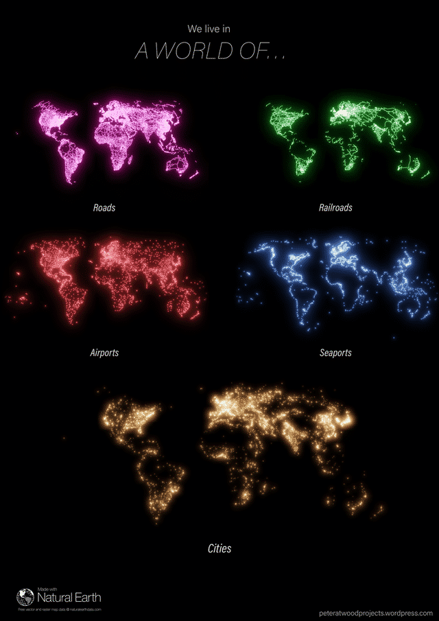
10. The World of Infrastructure
11. The topography of Japan
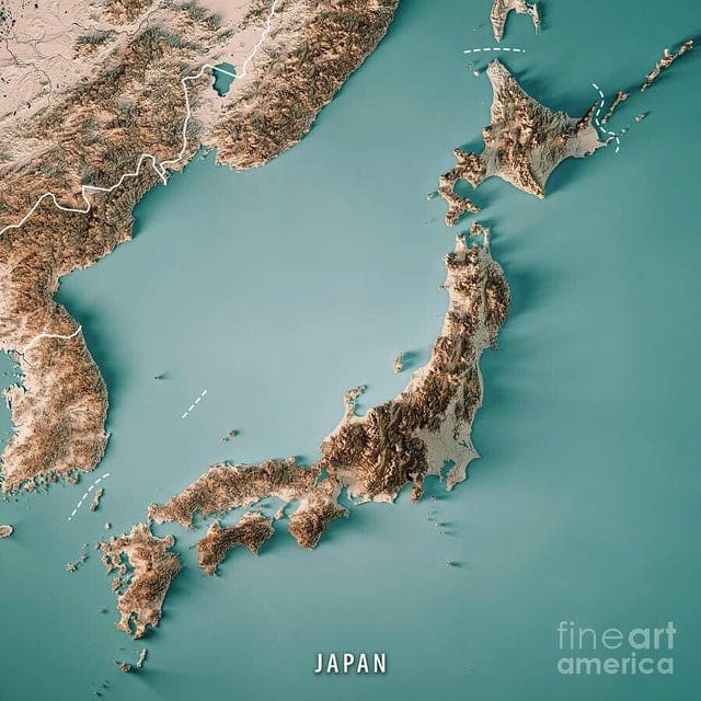
12. Full virtual reconstruction of Imperial Rome
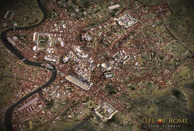
13. The west coast of North America – Roughly 215 million years ago
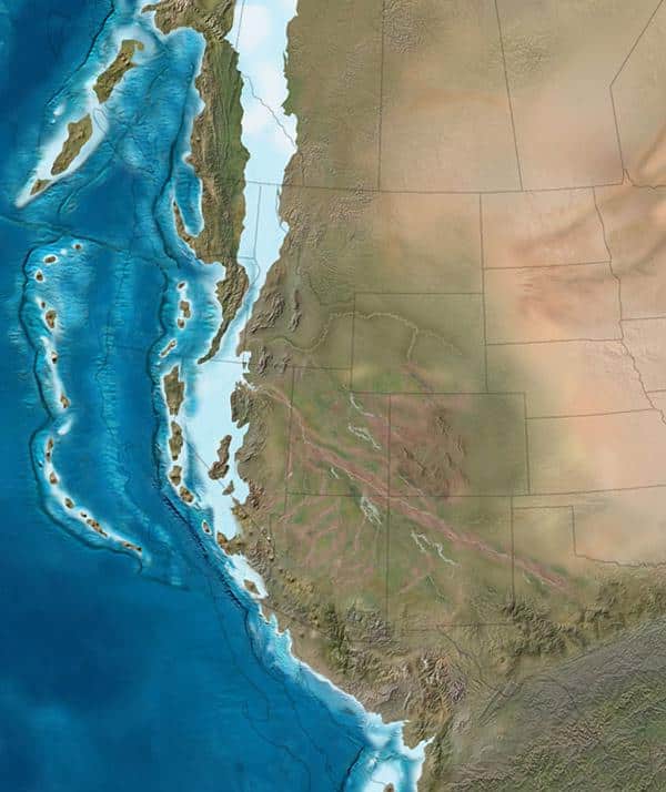
14. Satisfying ring road – Feira de Santana, Brazil
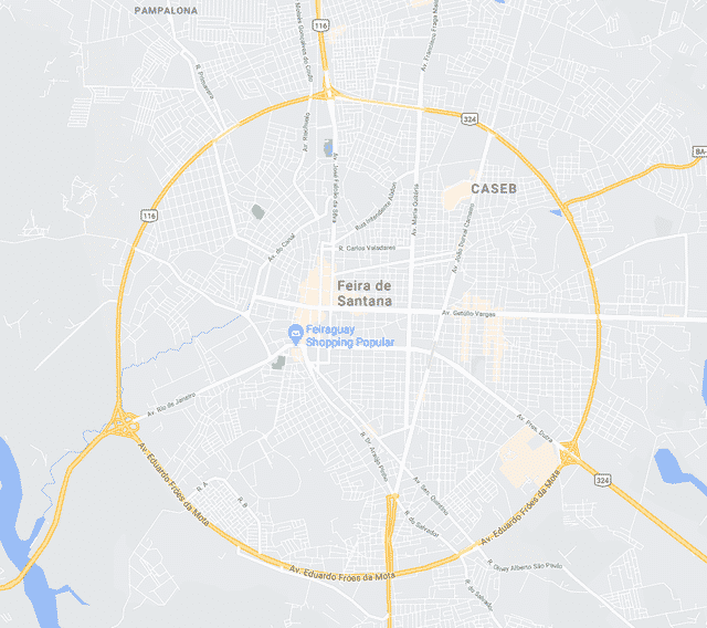
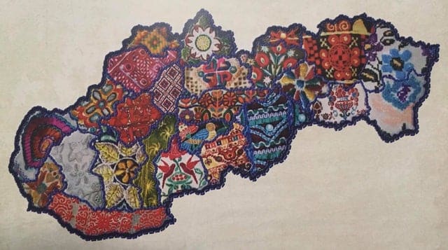
15. Map of Slovakia’s regions, illustrated with local embroidery.
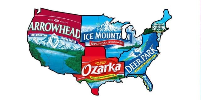
16. Regional names for Nestle water in the United States
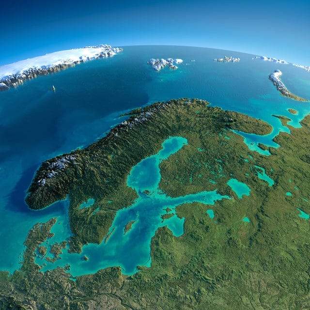
17. Relief Map of Baltic and Scandinavia
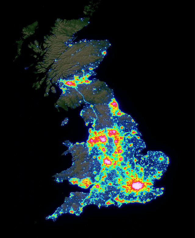
18. Light pollution map of Great Britain
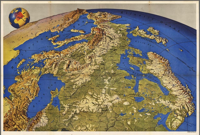
19. Europe seen from Russia (Made in the 1950s)
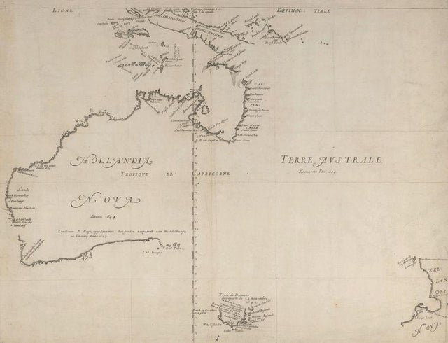
20. Map of a Not Yet Fully Discovered Australia 1659
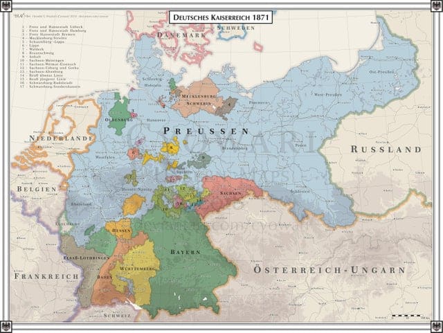
21. German Empire 1871
