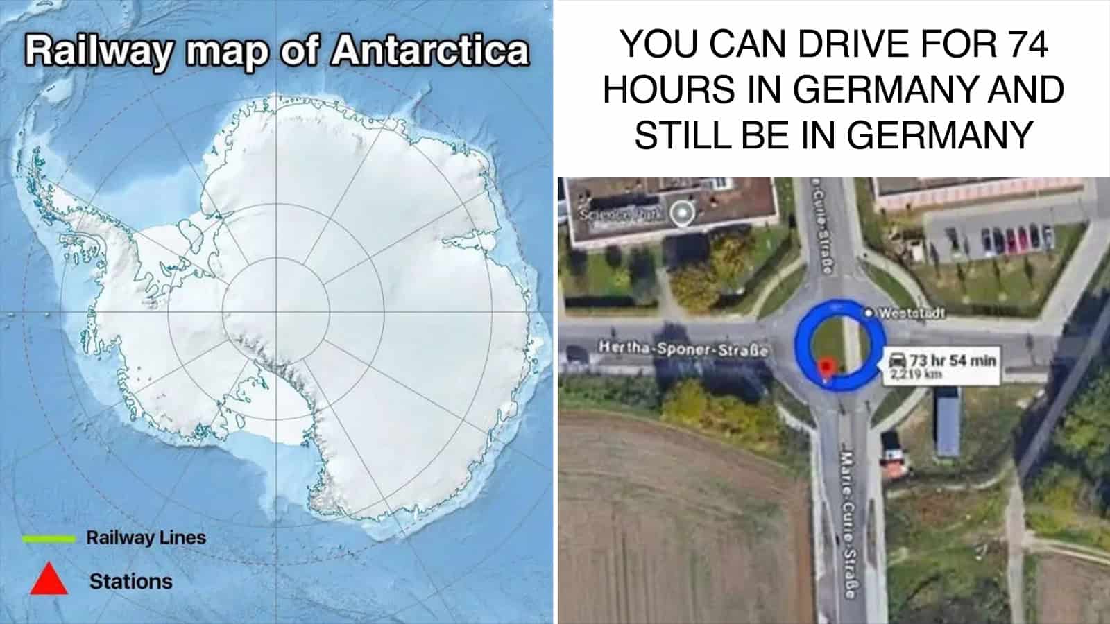
Railway map of Antarctica and a circular roundabout photo with text about driving 74 hours inGermany.

35 Funny Maps That Took Geography Less Seriously Than My 7th Grade Teacher

Add as a preferred source on Google

I like a map that makes me read the legend twice. The first time is to figure out what I’m looking at. The second time is to make sure someone really did sit down and pick three colors for this.

That’s my favorite part of these maps.

I love how official these maps look before you read them. Put a joke in a color-coded legend and for half a second I’m like, “Oh, I didn’t know that.” Then I read it again and remember I’m on the internet.

Either way, this is the longest I’ve willingly looked at Europe since I had to label it for a grade.

1. World Map According To Fish
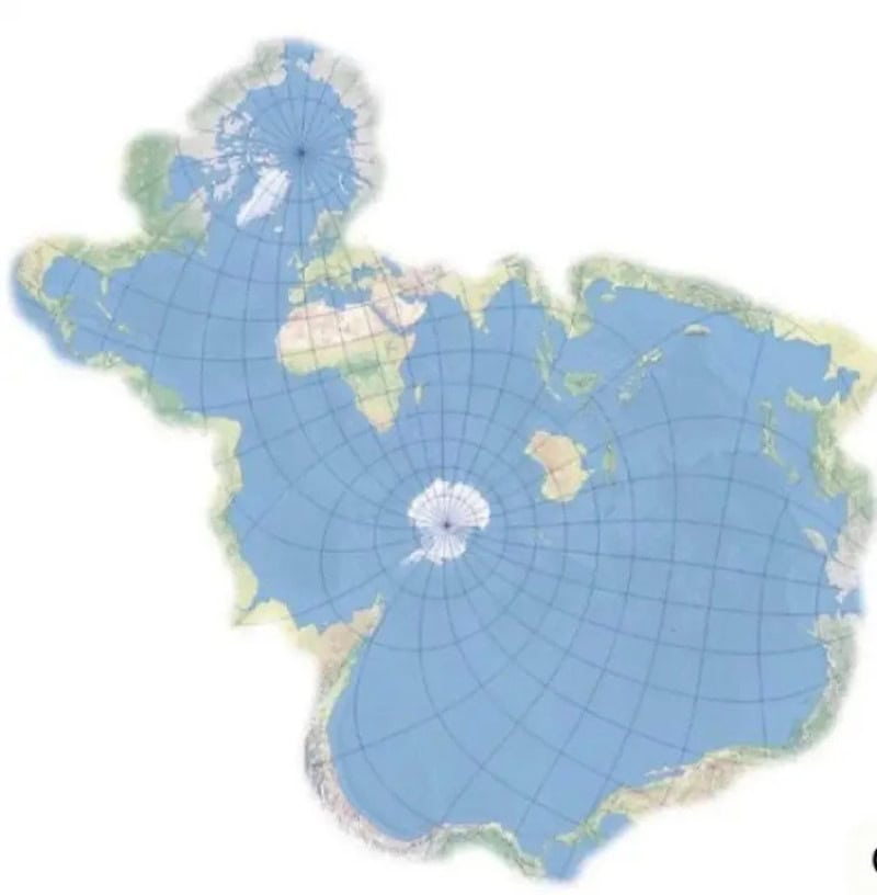
Map of the Arctic and Antarctic regions with continents outlined; centered on a polar grid, showing.
via terriblemaps

2. They Didn’t Need To Make The Legend This Honest
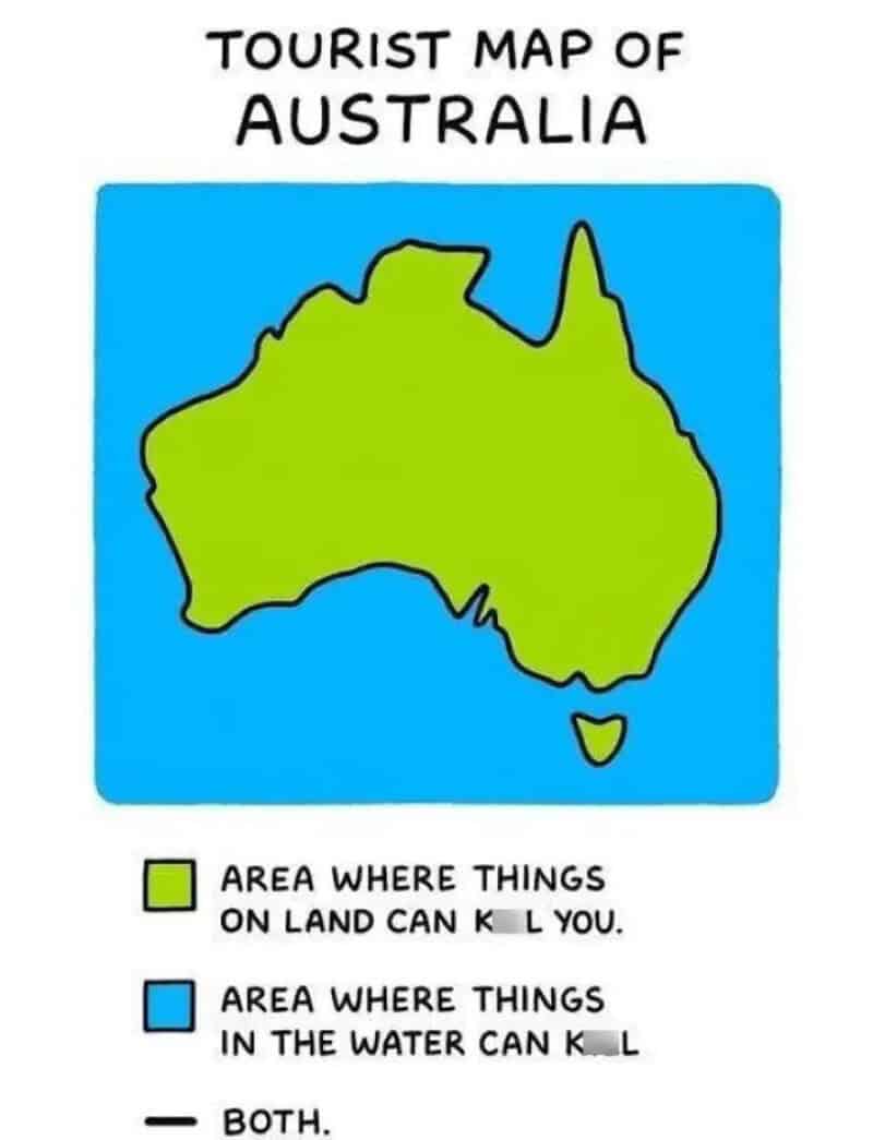
Tourist map of Australia showing land and water hazards legend, with blue water area and green land.
via terriblemaps

3. How I See Europe As A Non-European
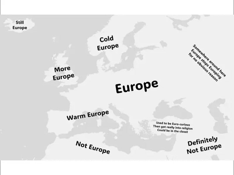
Europe labeled with regions: Still Europe, More Europe, Cold Europe, Warm Europe, Not Europe, Not to.
via terriblemaps

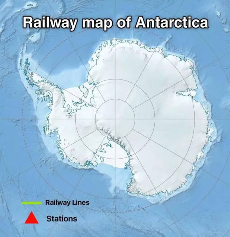
4. Railway Map Of Antarctica

Railway map of Antarctica with labeled railway lines and stations overlaid on the polar map.
via terriblemaps

5. Did You Know, You Can Drive For 74 Hours In Germany And Still Be In Germany?
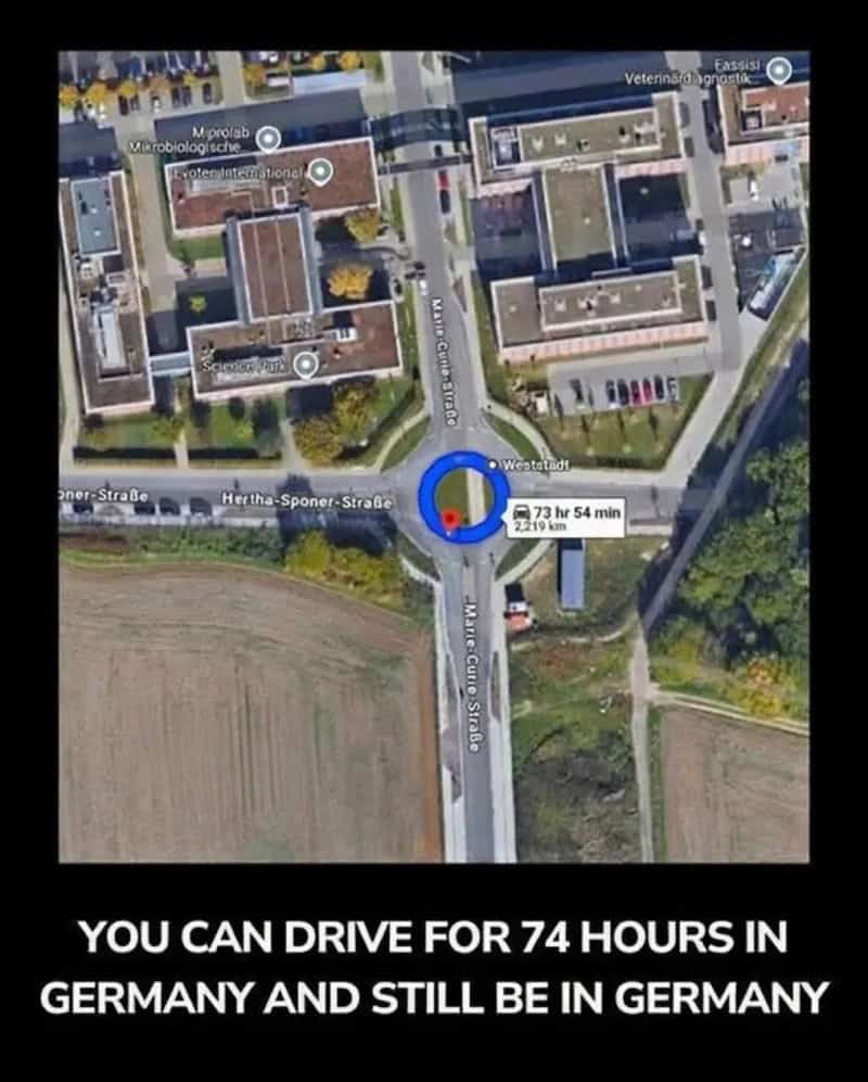
You can drive for 74 hours in Germany and still be in Germany (screenshot of map with route marker).
via terriblemaps

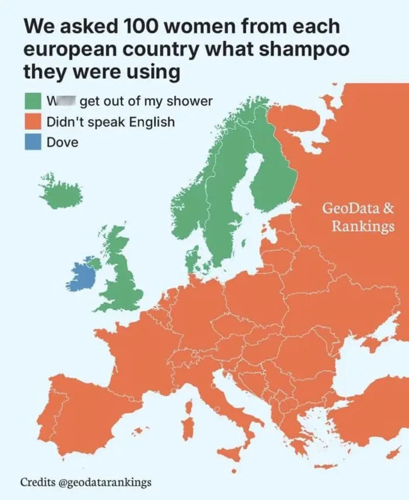
6. Shampoo Usage Across Europe

We asked 100 women from each european country what shampoo they were using.
via terriblemaps

7. Proposal To Place Chile Between Canada And USA
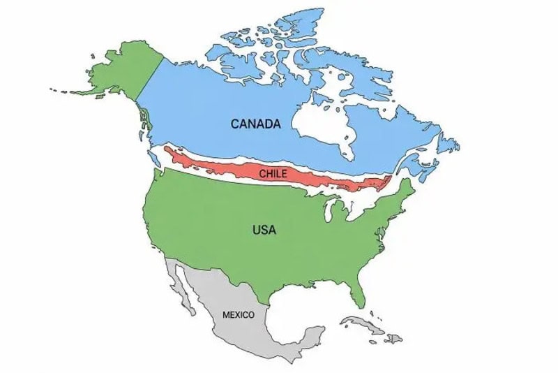
A map of North America highlighting regions of Canada in blue, Chile in red along a horizontal line,.
via terriblemaps

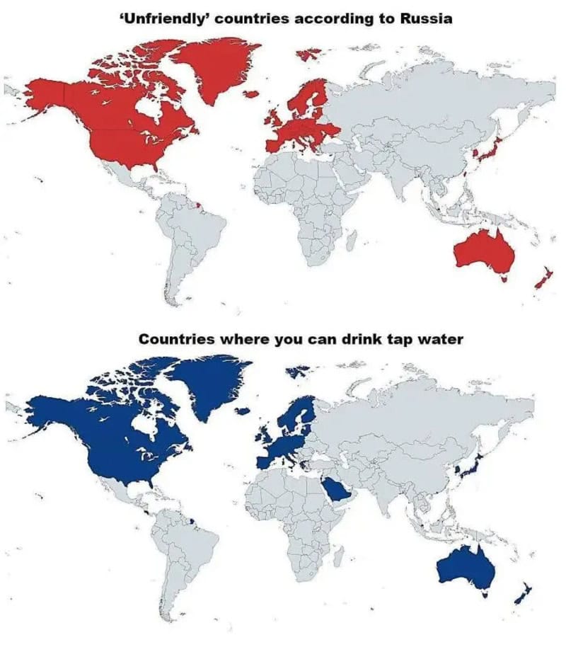
8. Mind Blown

Unfriendly countries according to Russia; and countries where you can drink tap water (world map).
via terriblemaps

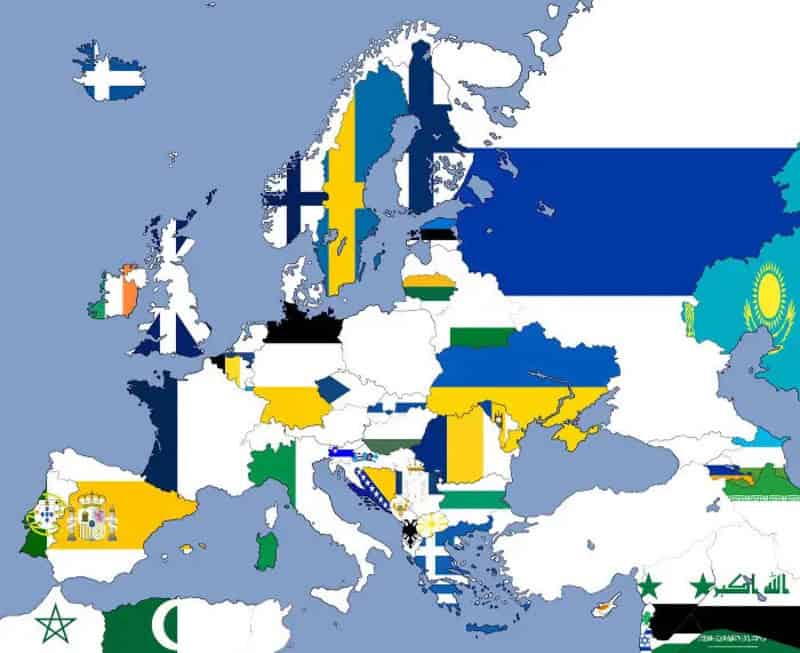
9. How I See Europe As A Colorblind Person
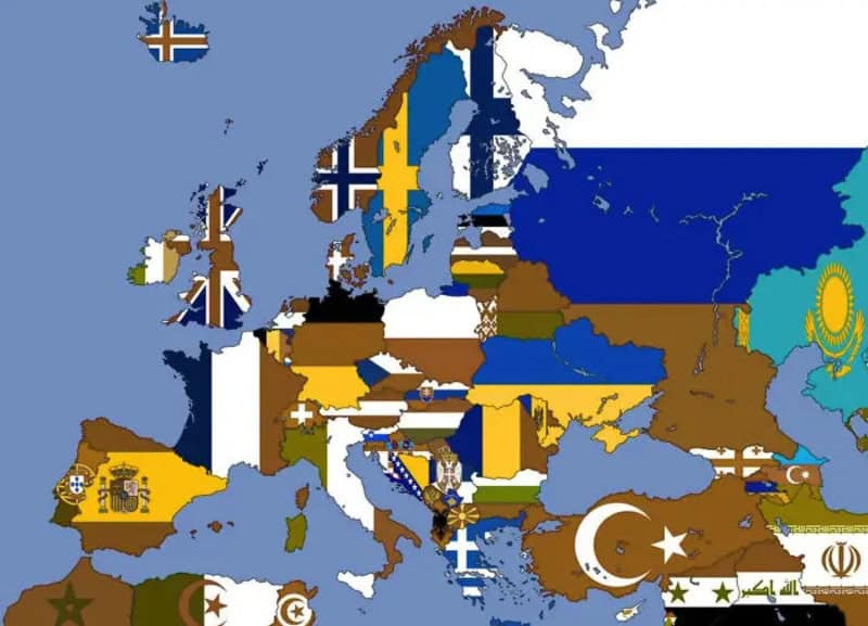
European map composed of country flags overlayed on a light blue background.
via terriblemaps

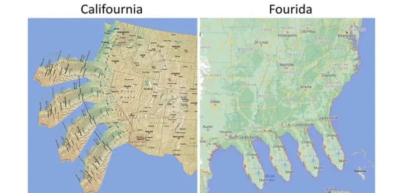
10. America’s Worst Fear

California map labeled Calfornia and Florida map labeled Fourida side by side.
via terriblemaps

11. Un Votes To Illegalize Child Marriage
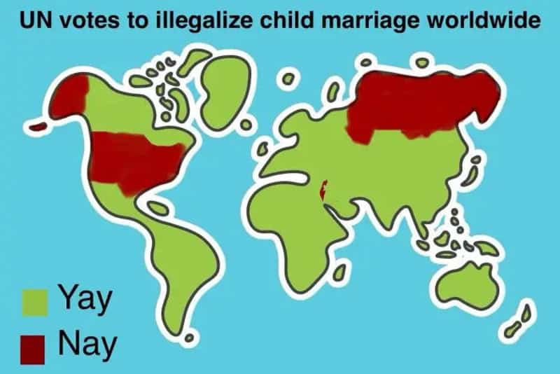
UN votes to illegalize child marriage worldwide map with blue background and green/yellow landmasses.
via terriblemaps

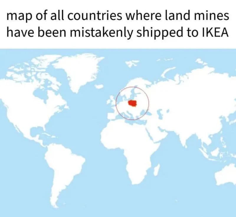
12. I Love My Country

Map of all countries where land mines have been mistakenly shipped to IKEA.
via terriblemaps

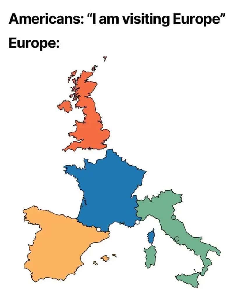
13. Americans Visit Europe Like

I am visiting Europe. Europe: map of Western Europe colored by country (UK orange, France.
via terriblemaps

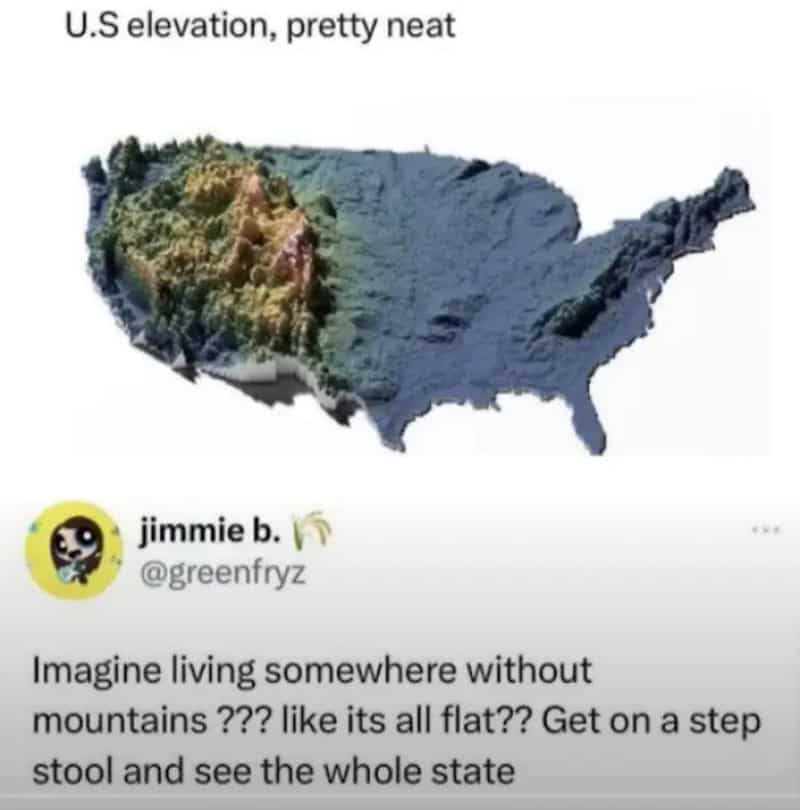
14. Seems Legit

U.S. elevation, pretty neat — map with varied topography overlaid.
via terriblemaps

15. Map Of European Countries Playing Football
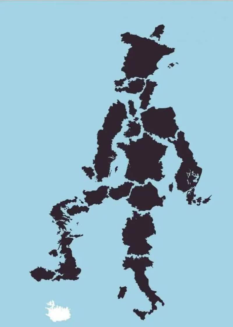
Terrible bad funny maps: silhouette of the Philippines outlined in black on light blue.
via terriblemaps

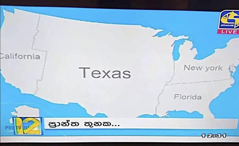
16. Sri Lankan Map Of The USA

Map of the United States showing Texas prominently labeled with surrounding states and a news banner.
via terriblemaps

17. How I See Europe As A Deaf Person
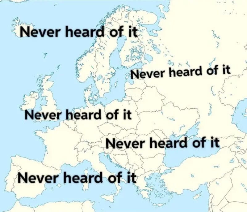
Never heard of it labels across a Europe map.
via terriblemaps

18. I Dunno If This Has Been Posted Here Yet
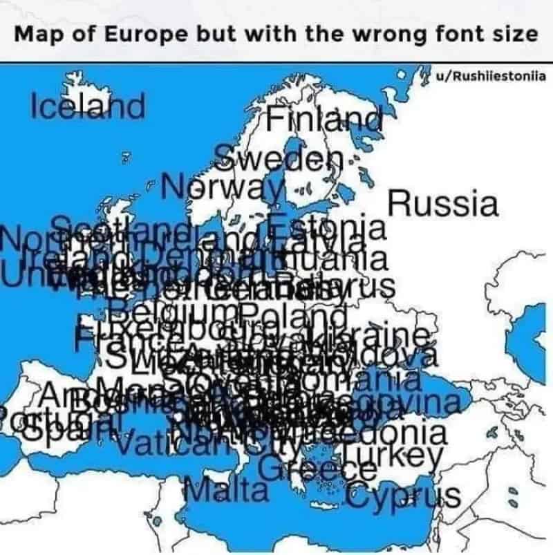
Map of Europe with the wrong font size.
via terriblemaps

19. If We Could Just Raise Sea Levels By 150 Meters We Get A Backup Strait Of Hormuz
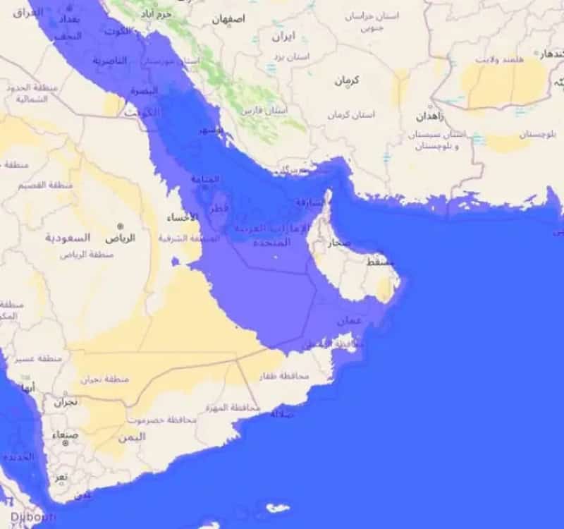
Map image showing a blue-highlighted region across the Arabian Peninsula and surrounding areas.
via terriblemaps

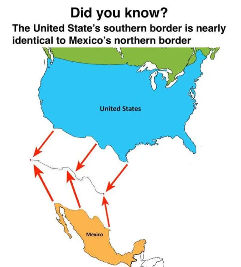
20. Did You Know?

Did you know? The United State's southern border is nearly identical to Mexico's northern border (ar.
via terriblemaps

21. My Try To Draw The World By Memory
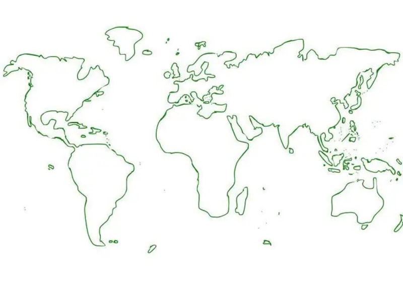
World map outline in green lines on white background.
via terriblemaps

22. If You Put The Us & Canada Over Europe, A Lot Of People Would Lose Their Lives
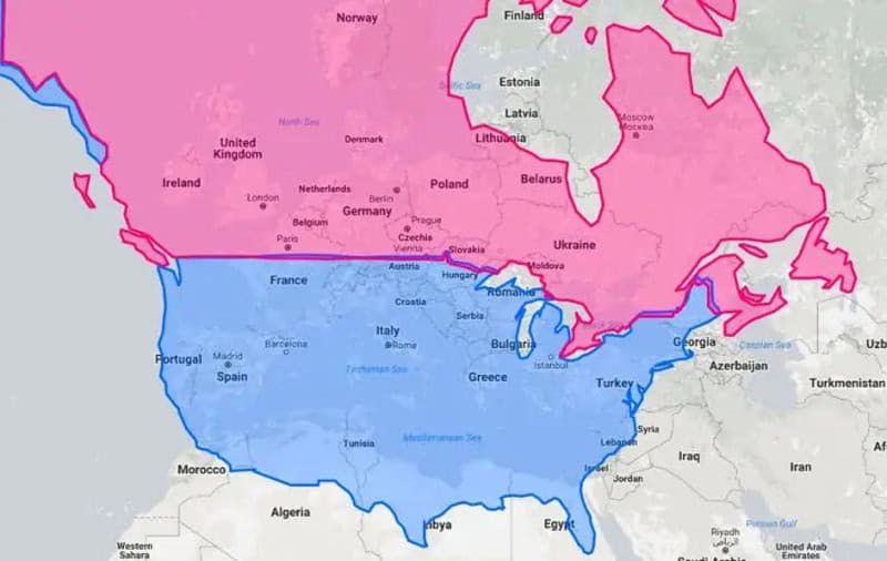
Map showing a large pink region over Northern and Western Europe and a blue region covering Southern.
via terriblemaps

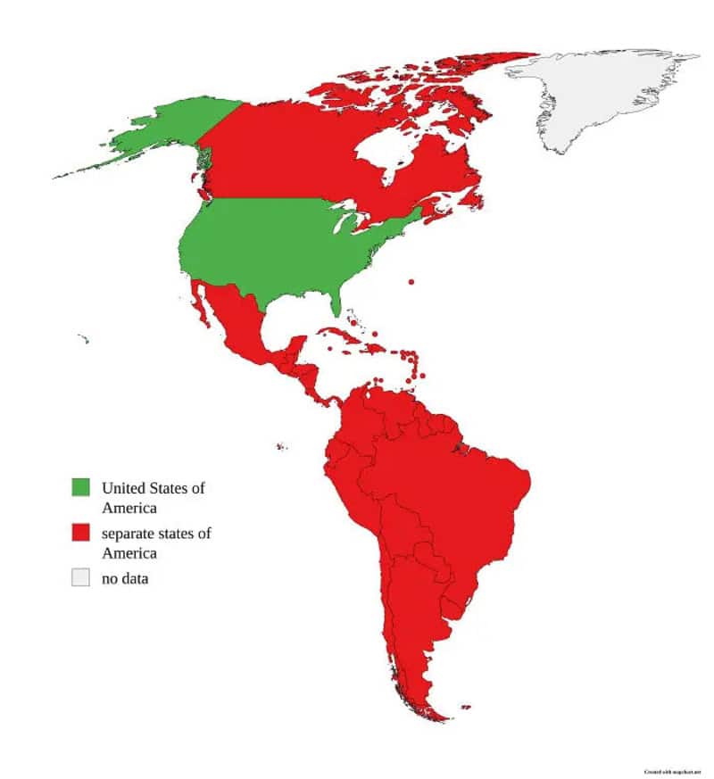
23. America Explained

Map of the Americas showing United States and Canada in green, Mexico in green, separate states of-;.
via terriblemaps

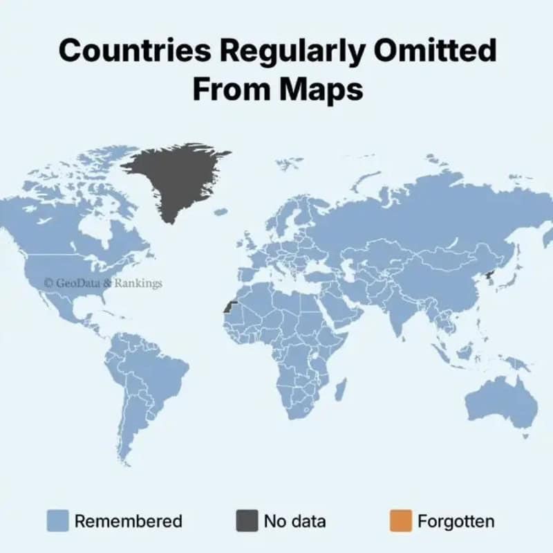
24. Seems Legit

Countries Regularly Omitted From Maps title image with world map and legend: Remembered, No data, Or.
via terriblemaps

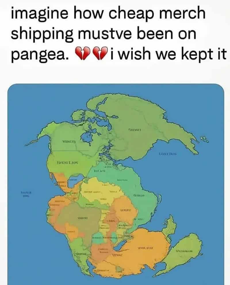
25. Merch Shipping In Pangea

via terriblemaps

26. Took Me A Second To Realize What I Was Actually Looking At
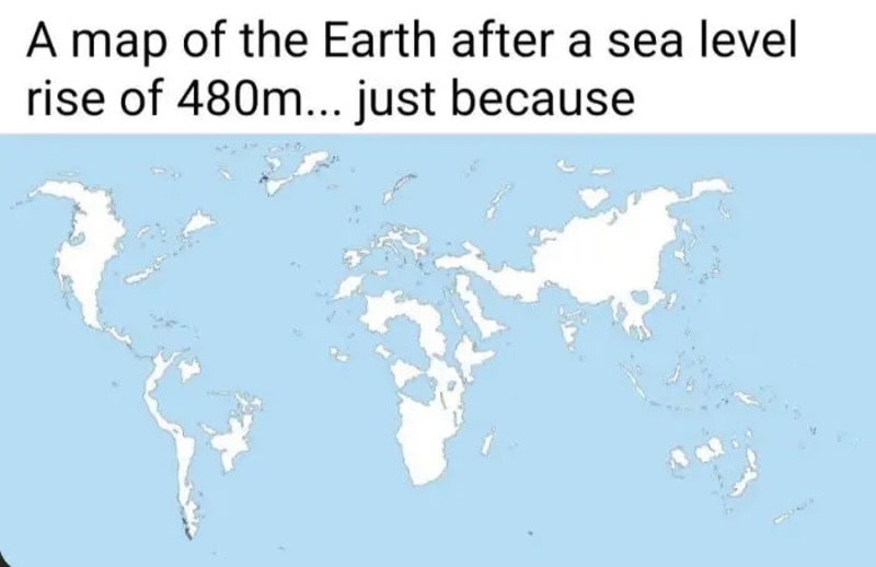
A map of the Earth after a sea level rise of 480m... just because.
via terriblemaps

27. Map Of Europe But Its Color Depends On A Coin Toss
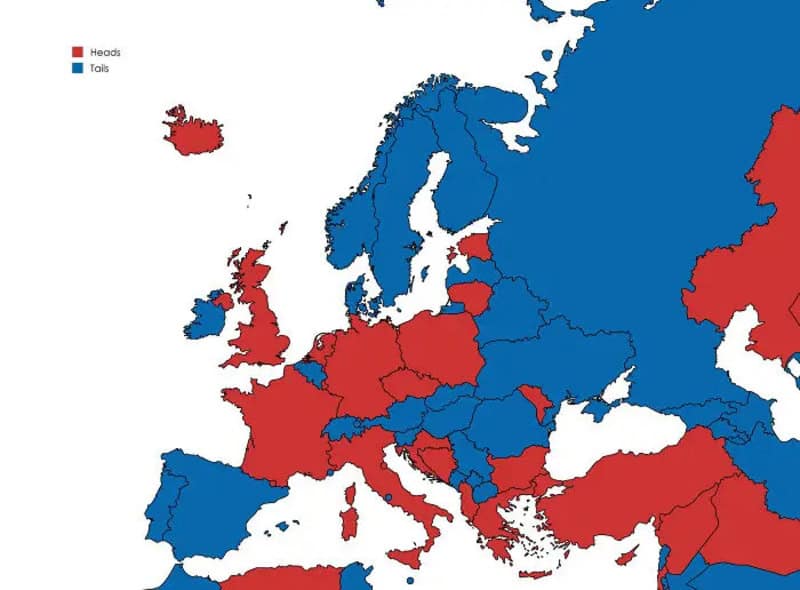
Map of Europe showing red and blue regions labeled Hoops and Tails; red areas and blue areas spread,.
via terriblemaps

28. England’s Worst County – End Results
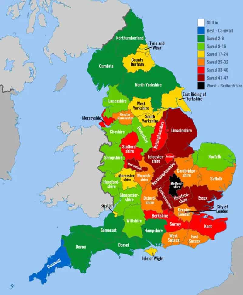
Map of England and Wales color-coded by county performance, with legend showing ranges and colors (e.
via terriblemaps

29. Europe If Red Never Existed

Map of Europe with flags of many countries overlaying the continents.
via terriblemaps

30. If The UK Was Next To Japan

Map of Europe showing country borders in gray tones.
via terriblemaps

31. Europe But I Translated Every Country Name 50 Times
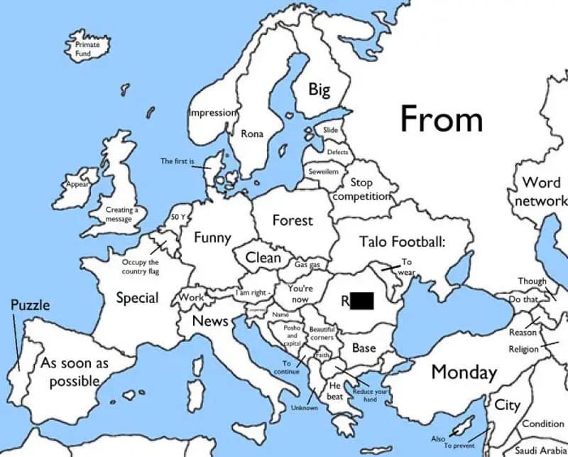
Map of Europe with humorous labels, including words like Funny, Clean, News, Big, Forest and Monday.
via terriblemaps

32. You Can Sail From Georgia To Georgia In A Perfectly Straight Line
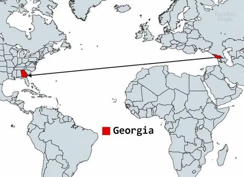
A world map showing a line from Georgia to the United States with a red marker on Georgia and a red_.
via terriblemaps

33. Does Your Country Lie Mostly North Or South Of The Equator?
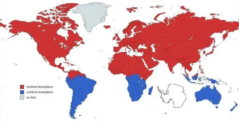
World map with regions colored red and blue indicating hemispheres; red for northern hemisphere, red.
via terriblemaps

34. Chances Of Being Born In Each Continent
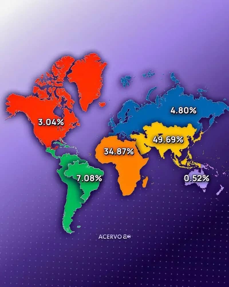
Colorful world map with percentage values over continents; red North America 3.04%, orange Africa 34.
via terriblemaps

35. South America Can Fit All These Countries Inside Itself
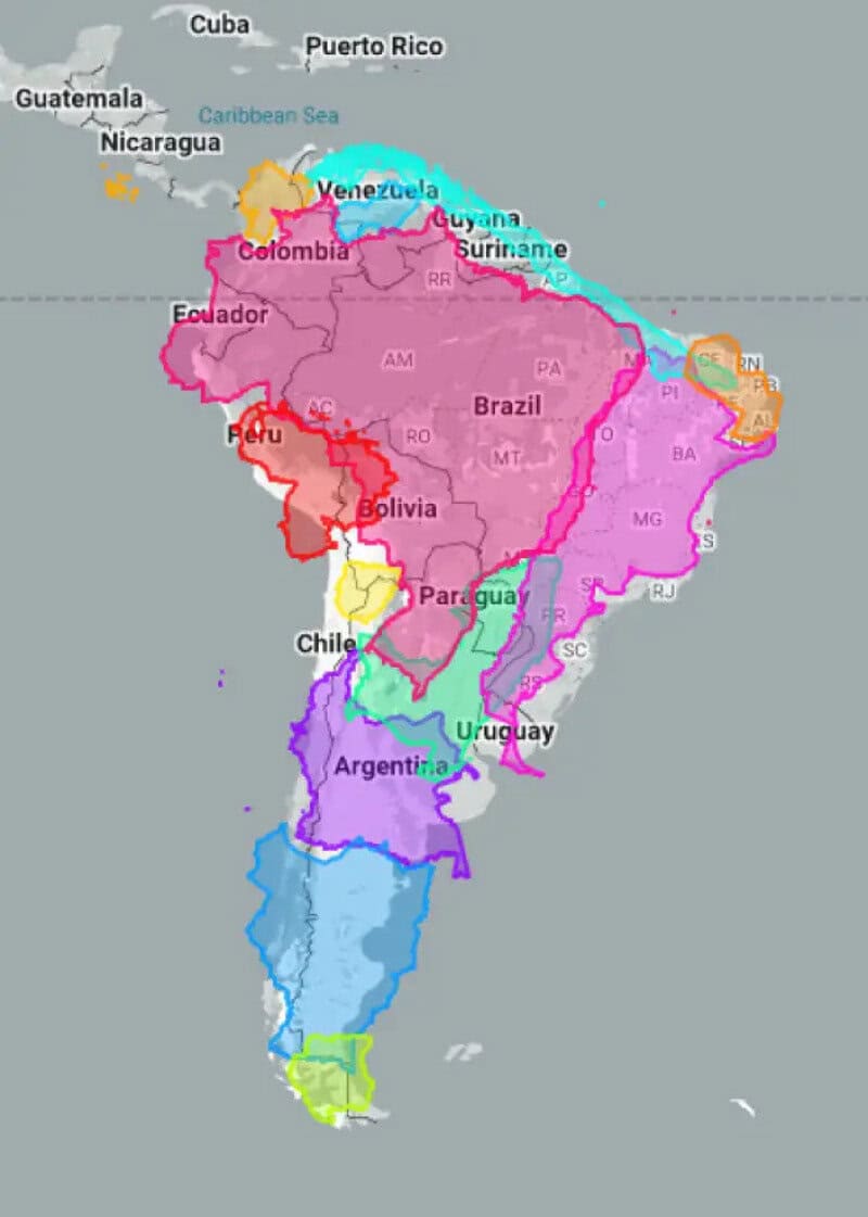
Map of South America with each country highlighted in distinct colors.
via terriblemaps