Now maps are apps, but it used to be a 27’x27′ piece of paper folded up in your dad’s glovebox. We’ve come a long way.
Maps are incredible now. With the ability to make them on computers mixed with the sheer amount of knowledge we’ve amassed, you can pack a lot of information into one. Here are the 15 best I found this week.
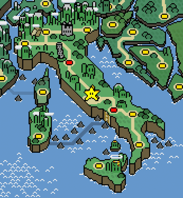
1. Since the last one got a huge amount of attention: Here’s the second one, Italy this time! I’m having more and more fun doing these, and there’s more to come!
2. This map I found while cleaning up.

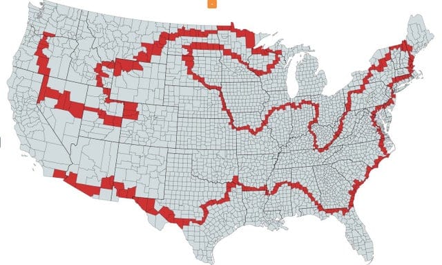
3. You CAN connect the contiguous 48 using non-rectangular counties!
4. Turkey borders 7 countries with 7 different alphabets.

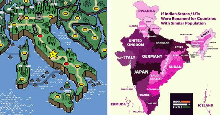
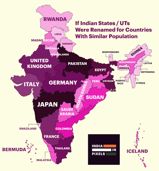
5. If Indian states were renamed after countries with similar population.
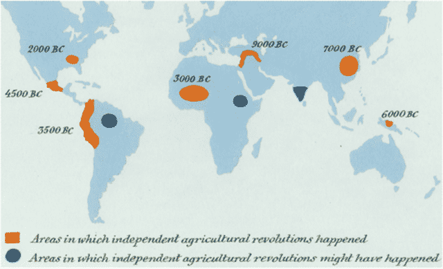
6. Areas where Agriculture had been discovered independent of outside influences (from Sapiens by Yuval Noah Harari)
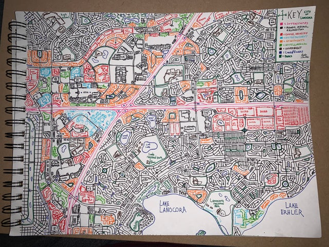
7. Day six into social distancing, I have drawn an entire city.
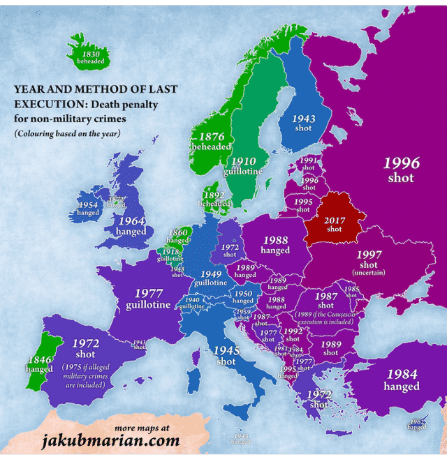
8. Last executions and methods in Europe.
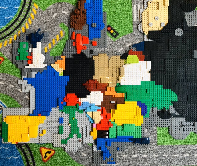
9. LEGO map of Europe my son and I did during the time of social distancing.
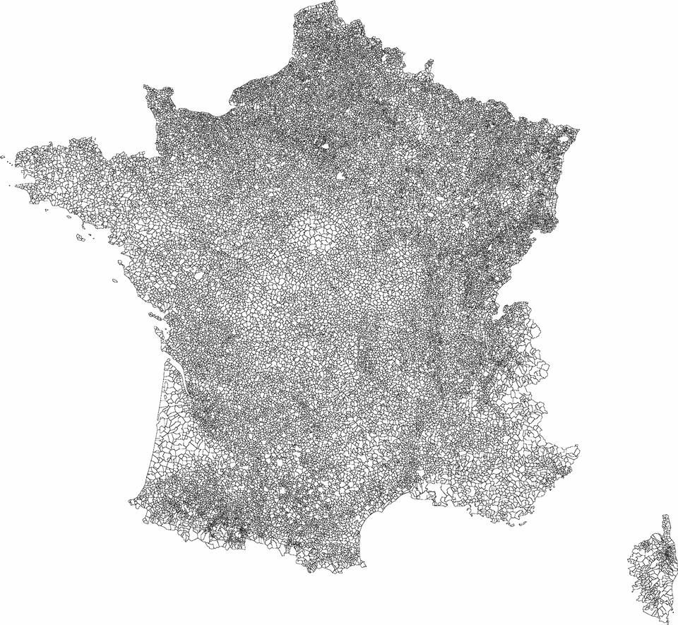
10. 36,569 French Communes.
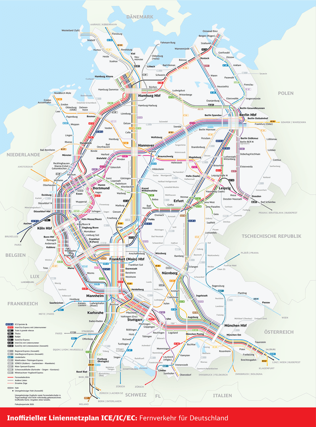
11. Germany Intercity Rail Network (2020)
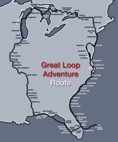
12. The Great Loop! A Year-long North American Boating Tour.
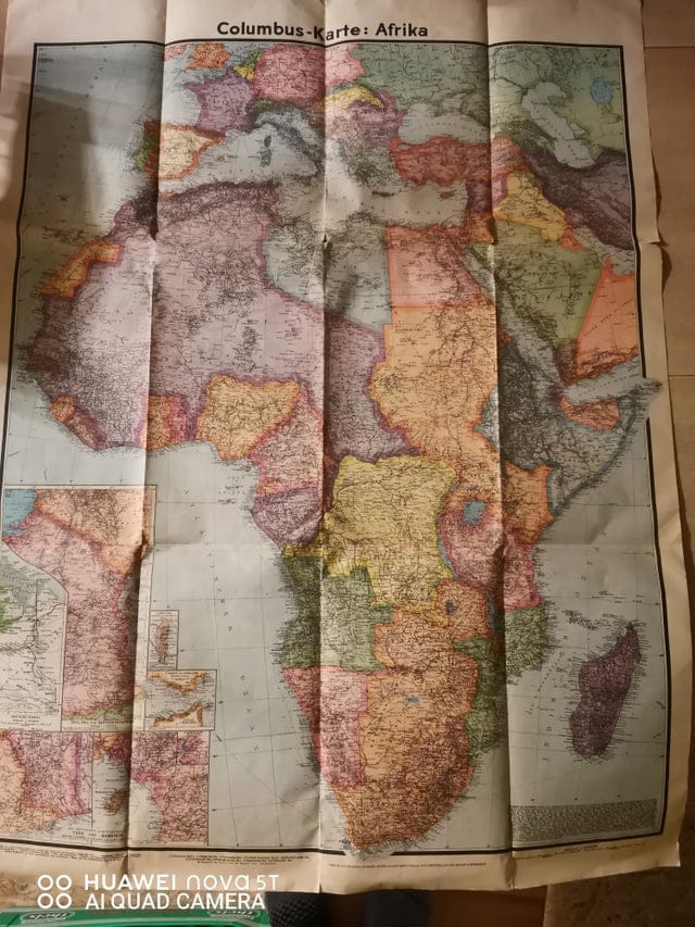
13. This Map from 1941 I found cleaning my grandpa’s room.
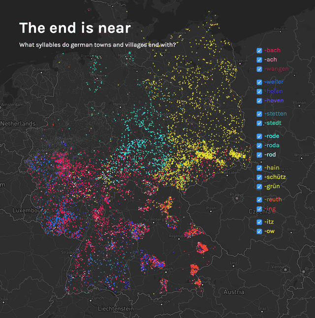
14. Suffixes of German towns and villages (+dramatic corona related headline)
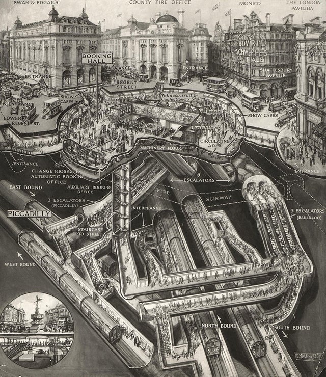
15. Cut-out of London’s Piccadilly tube station (1928)
