There’s A Map For That (21 Interesting Pics)
Now maps are apps, but it used to be a 27’x27′ piece of paper folded up in your dad’s glovebox. We’ve come a long way.
Maps are incredible now. With the ability to make them on computers mixed with the sheer amount of knowledge we’ve amassed, you can pack a lot of information into one. Here are the 15 best I found this week.
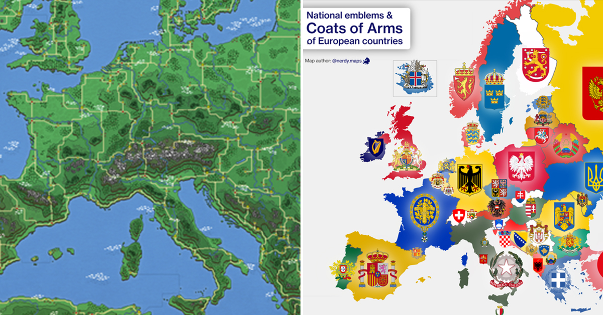
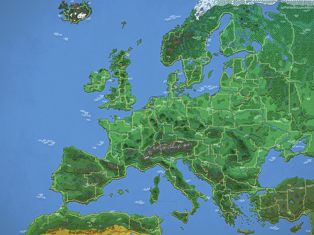
1. Europe in the style of Super Mario World. Zoom in for details!
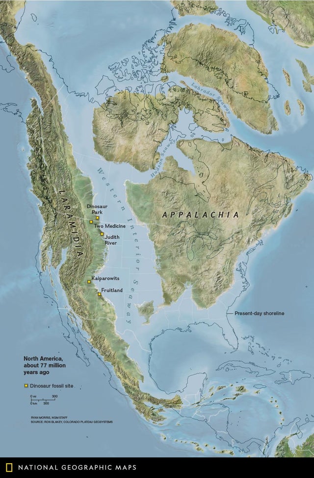
2. North America 77 Million Years Ago
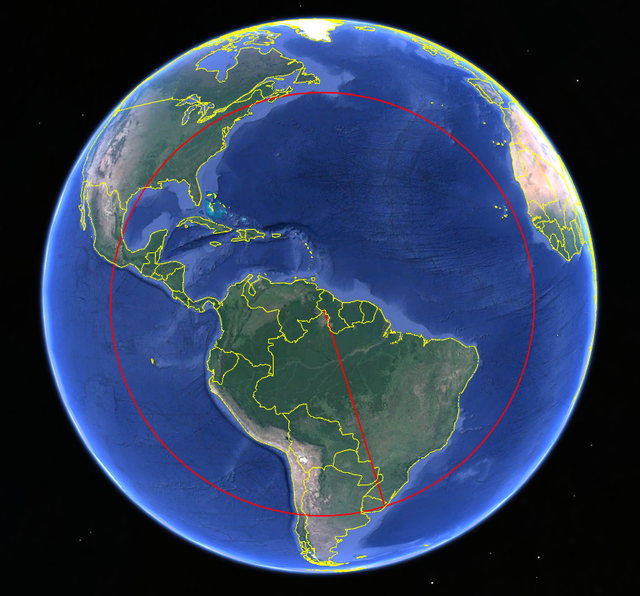
3. The northernmost part of Brazil is closer to Canada than it is to the southernmost part of Brazil.
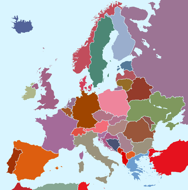
4. Europen countries with their average flag color.
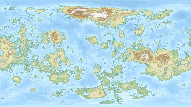
5. Map of Venus if it has as much water as Earth.
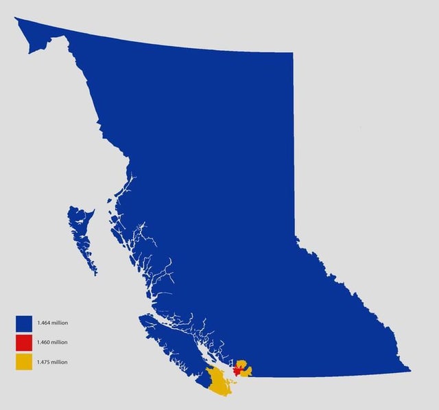
6. British Columbia split into 3 areas of equal population.
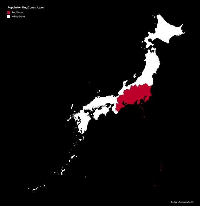
7. The Japanese flag but the two colors have the same population.
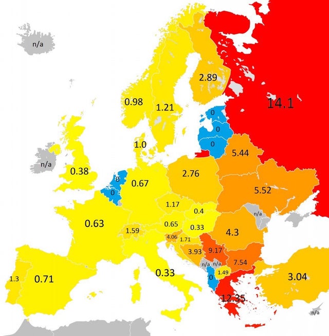
8. Amount of tanks per 100 000 people
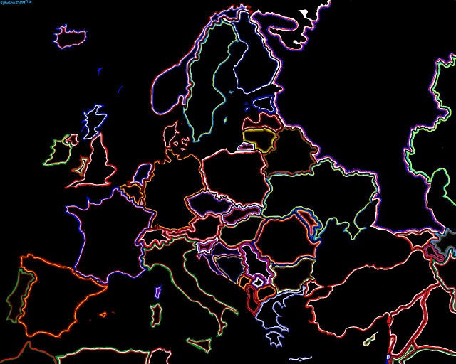
9. a decorative map i made using flag colours
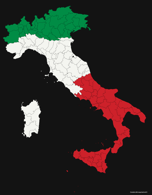
10. The Italian flag, but every colour has the same population
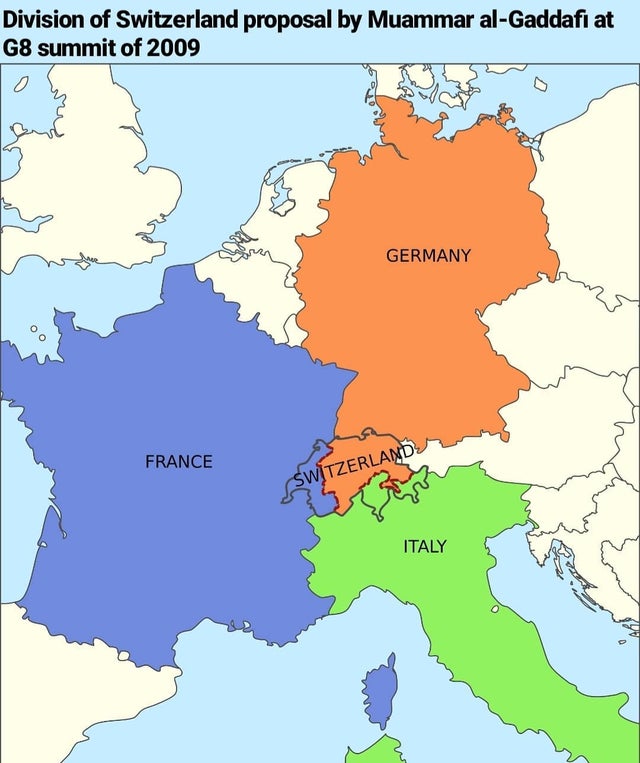
11. Muammar Gaddafi’s Proposed Partition of Switzerland in 2009
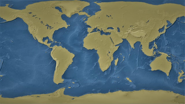
12. World with 1000m Sea level drop
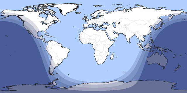
13. Every year on July 8th at about 11:15 UTC, approximately 99.164% of the world’s population is between dawn and dusk.
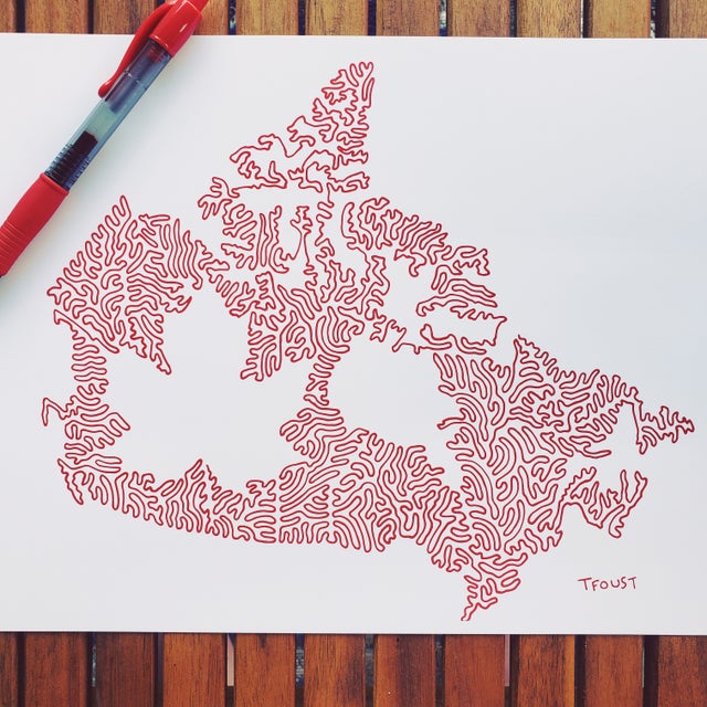
14. I have been drawing countries and states with one line. Here is my Canada
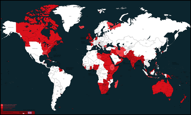
15. Complete map of everything England or Great Britain has ever owned, colonized, invaded, vassalized, occupied, etc.
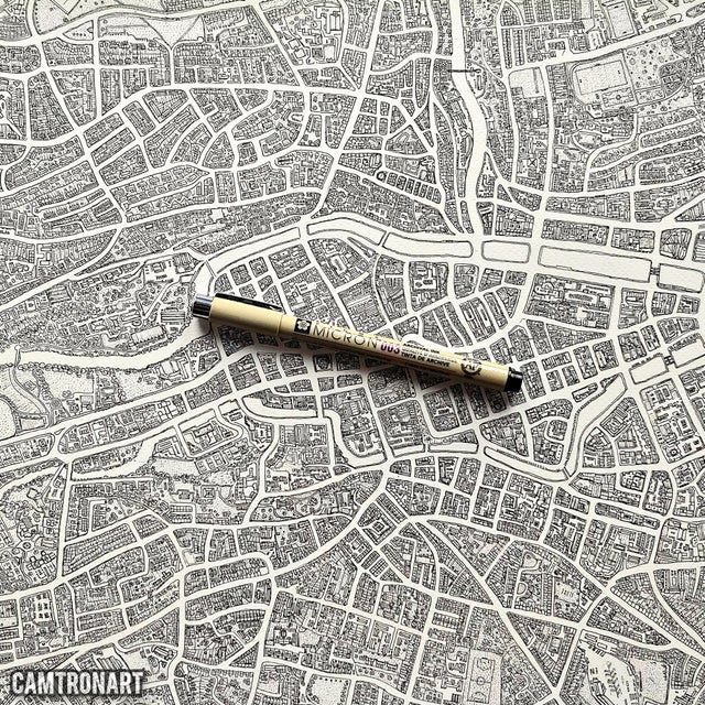
16. Map art piece I’m working on of Cork city Ireland.
17. The Gastrointestinal system represented as a subway map. Designed by Jack Anderson

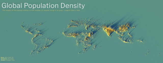
18. World in Population Density
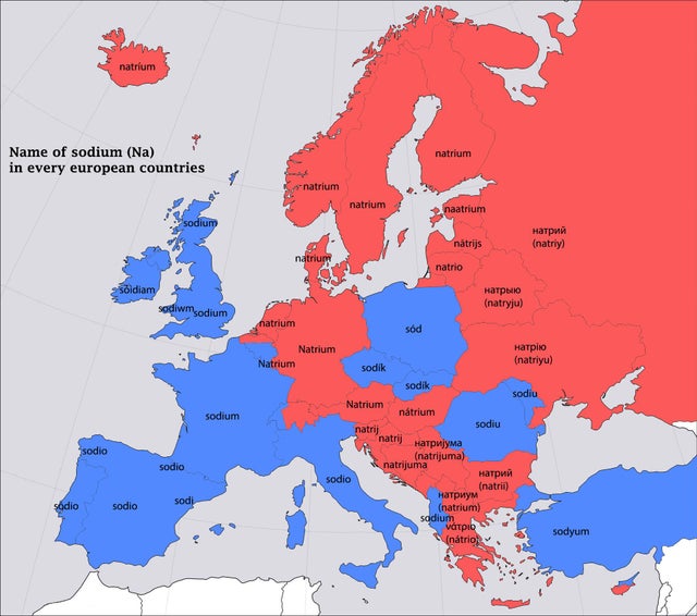
19. I made a map that shows the distribution of Europe based on the word sodium.
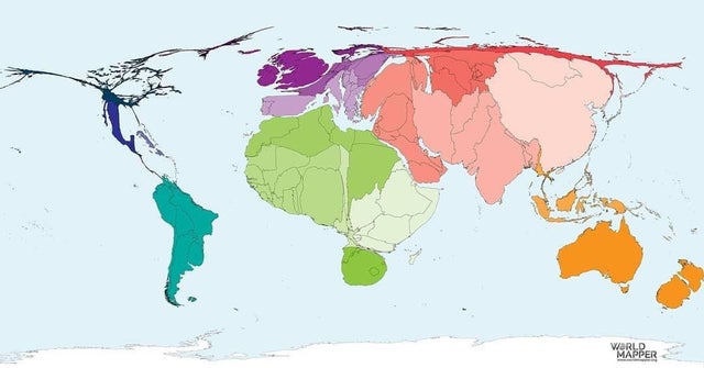
20. The world in proportion to the population of sheep.
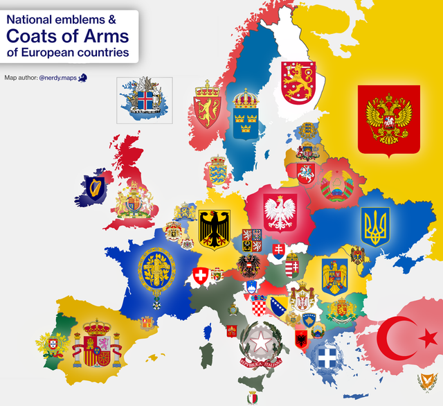
21. Coats of Arms of European countries.
